
Atwater ZIP Coverage
Atwater has one verified standard delivery ZIP in the research record. The Atwater postal area is wider than the incorporated city, so the Atwater postal directory must be read as a delivery map rather than a city roster. The table keeps the verified Atwater coverage narrow and leaves unverified special-use ZIPs out.
| ZIP | Areas Covered | Post Office | Notes |
|---|---|---|---|
| 95301 | Atwater plus surrounding unincorporated Merced County delivery territory | Atwater Post Office | Crosses the Atwater incorporated boundary; no separately verified PO-box-only ZIP |
The 95301 label can reach McSwain and Franklin-adjacent territory in the wider Merced County delivery area. That does not place every Atwater ZIP address inside the City of Atwater, and it does not move a county permit or parcel into an Atwater city custodian.
The USPS ZIP Lookup is the right first check for a complete Atwater street address. The captured USPS screen shows the official Atwater address-verification route that anchors the table to a delivery address, not to a guessed city boundary.
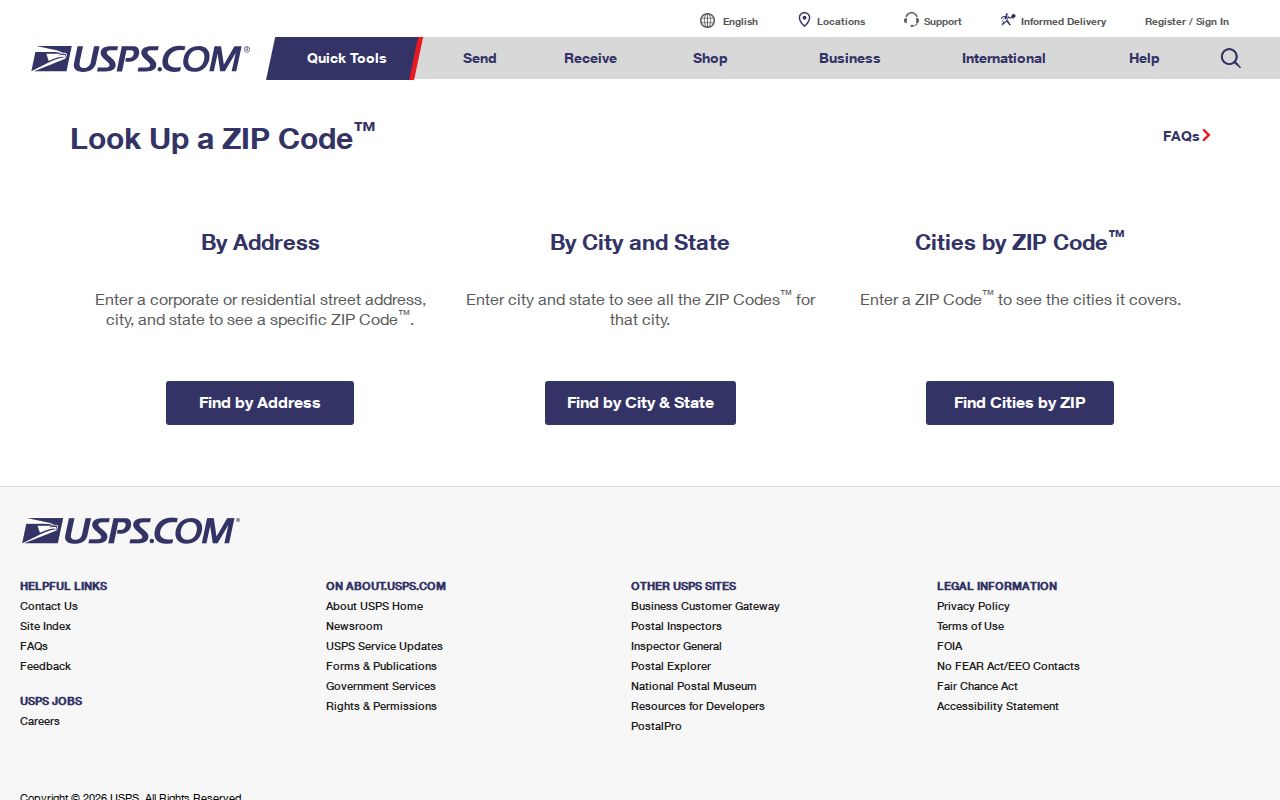
Use the returned Atwater ZIP, city, and state as delivery facts. Keep them beside the parcel and jurisdiction facts instead of treating one label as proof of Atwater residence or municipal service.
Finding Atwater Residents by ZIP Code
An Atwater ZIP narrows a search, but each local record system accepts a different key. Merced County’s online Assessment Inquiry does not accept an owner name or street address; it documents fee parcel number and assessment number modes. The county GIS viewer works by map and parcel layers. Accela is the useful Atwater exception because its address lookup includes City, State, and Zip fields.
- Verify the exact Atwater delivery address with USPS and save the returned ZIP and city label.
- Use the county address or tax lookup path to resolve the Atwater street to an APN when property context is needed.
- Use Merced GIS to inspect the Atwater parcel and nearby layers, while keeping the ZIP polygon separate from the city line.
- Use Accela’s Atwater ZIP-capable address fields for permit or planning records, not as a resident list.
- For Atwater voter information, use the California status tool for the voter’s own registration or apply through the authorized file process.
The Atwater sequence matters. Postal verification answers where mail is delivered; a parcel search answers which land unit is involved; a permit or voter route answers only the narrow record question its custodian allows.
The 2007 Atwater ZIP Code Shift
Postal history can make Atwater resident movement look real when it is only a delivery change. USPS Postal Bulletin 22206, dated May 10, 2007, directed some deliveries that had used Merced 95340 to use Atwater 95301. An Atwater directory entry or tax record that changes ZIP codes after that date does not, by itself, show that a person moved.
Preserve both values when comparing old and new Atwater records. Record the document date, the address as printed, the postal city, and the ZIP that the source used at that time. Then compare the parcel’s APN or legal description. Those stable land keys help distinguish an Atwater postal realignment from a change in ownership or occupancy.
Note: A 2007 ZIP change can alter an Atwater address string while leaving the underlying parcel and household question unchanged.
Atwater City Limits Versus ZIP Code
Atwater’s postal geography and civic geography answer different questions. The Atwater official maps cover the sphere of influence, zoning, transportation, redevelopment, and the general plan. The sphere reaches beyond the incorporated boundary, while the 95301 delivery area also extends into unincorporated Merced County.
Before choosing an Atwater records office, compare the postal address with the City of Atwater maps and the Merced County GIS viewer. A city building or planning file belongs to the Atwater route when the project is within the city’s jurisdiction. An unincorporated project goes through the county system, even when the mailing line says Atwater.
Geography check. Treat ZIP, city limits, sphere of influence, school district, tax area, and parcel boundary as separate layers until an official map connects them.
Merced Accela’s Atwater ZIP Code Fields
Merced County Accela is an Atwater permit, planning, enforcement, and license portal. Its address lookup can search a range of street numbers and use a wildcard in the street name. Those tools make an Atwater ZIP-based property or permit sweep possible, but the result is still an address record with a record type and status, not a list of people.
| Field | How it works |
|---|---|
| Street Number from/to | Atwater number pair; a range can approximate a block. |
| Direction | Optional dropdown, including direction values such as S. |
| Street Name | Text field; a percent sign can act as a starting-letter wildcard such as M%. |
| Street Type and Unit | Optional suffix, unit type, and unit number refinements. |
| City, State, and Zip | Optional Atwater postal fields for a local address search. |
| Address date, detail, and type | Advanced property metadata when the portal presents those options. |
The county’s PortalInternet application hub is a separate Atwater route for certificates, marriage, fictitious business names, and other registrations. Its captured screen is useful context for the county’s online services, but it is not an Atwater ZIP-wide resident directory.
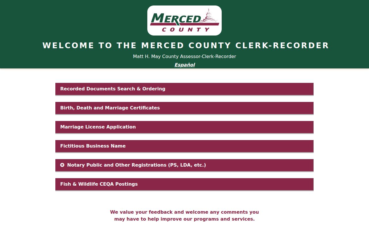
Keep an Atwater permit result tied to its address, application, contractor, or record status. The presence of a name in a permit file does not prove that the person lived at the site.
APNs: Atwater’s Stable ZIP Geography Key
An APN is an assessor parcel number. It is a bookkeeping key for Atwater land, not a postal code and not a person identifier. Merced County’s parcel-map download explains that the first five APN digits correspond to map book and page. That relationship gives older Atwater map pages and current parcel work a common starting point.
Use the Merced parcel-map download to connect an Atwater map book, page, and APN prefix. The maps are for assessment purposes and do not establish legal ownership, zoning, or a lawful subdivision. For Atwater title evidence, an indexed or viewed recorded document and its legal description carry more weight than a map outline.
Assessment Inquiry reports Atwater parcel status, tax-rate-area code, assessed values, exemptions, characteristics, and assessment maps through its documented online modes. Because online owner-name and address searches are disabled, an Atwater ZIP search must not be described as an online owner list.
The Merced access design is itself a useful Atwater routing clue. A searcher cannot type a street into online Assessment Inquiry, yet RecorderWorks supports name and document workflows and the parcel downloader exposes map book and page. Start with Tax Collector normalization or GIS, move to the Atwater APN, inspect assessment facts, and then use RecorderWorks or the counter. That order avoids confusing a mailing city with a legal parcel.
Atwater Situs, Mailing, and Legal Addresses
Atwater address words can hide three different facts. A situs address is where the parcel sits. A mailing address is where an owner or taxpayer receives correspondence. A legal description identifies the Atwater land through a lot, block, subdivision, or metes-and-bounds description. The ZIP normally belongs to the delivery address, not to the title identity.
- ZIP and ZIP+4
- A ZIP identifies a delivery area. ZIP+4 adds a finer delivery segment; neither one defines a parcel or proves who lives there.
- PO-box ZIP
- A special postal designation can serve boxes rather than street delivery. No separate PO-box-only ZIP was verified for Atwater in the research.
- Unique ZIP
- A unique ZIP is assigned to a single institution or organization. The verified Atwater coverage table does not establish one.
- Carrier route
- A carrier route is an operational delivery subdivision inside a ZIP. It is not a city ward, parcel group, or public resident roll.
When an old Atwater directory, deed, or tax record uses a rural route, old postal city, or changed ZIP, retain the original wording. Match it to the Atwater legal description and dated maps before normalizing the address.
Atwater ZIP Is Not a Resident Roll
Atwater postal data describes delivery, not every person at an address. Merced property systems distinguish the parcel, owner or assessee, mailing address, and situs. The California voter-status tool is a self-service check for one Atwater voter, not a browseable street roster. Full voter files require an Elections Code authorized purpose, an application, security commitments, and the permitted delivery format.
The State Controller’s California unclaimed-property search accepts name, address, city, and property number fields. An Atwater match can be a useful prior-name or prior-address clue, but it does not prove a current Atwater residence. Claim review requires separate documentation, and the search is not a directory of people in 95301.
The captured Atwater unclaimed-property screen shows why a name-and-city result should remain a lead rather than a conclusion.
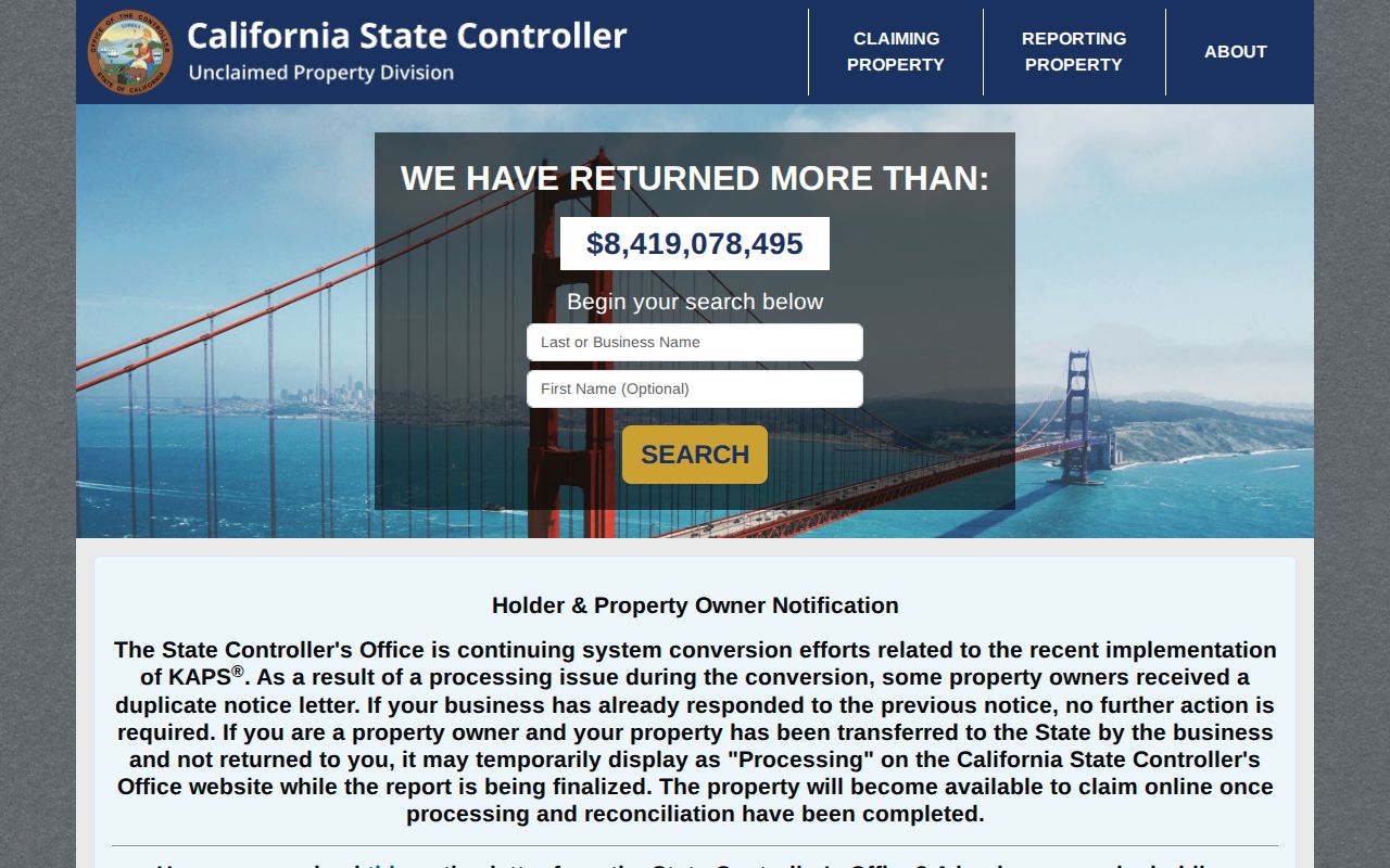
Use an Atwater ZIP as a routing clue, then verify the narrow record question with its custodian. A lawful personal search should stop when the public record stops, especially for protected addresses, household members, and utility customers.
From Atwater ZIP Code to a Street
Once USPS confirms the Atwater delivery area, move to the exact street and parcel rather than expanding the ZIP into a guessed list of residents. Compare the city map, county GIS layer, APN, and any Accela record. A current Atwater address can then be checked against a deed index, a dated directory, or another source that states its own coverage.
For the street-level sequence, use the Atwater street directory to move from address to parcel and then to the appropriate record custodian. The postal directory remains useful for the first geography check, while the street and parcel keys carry the research into a specific block.